
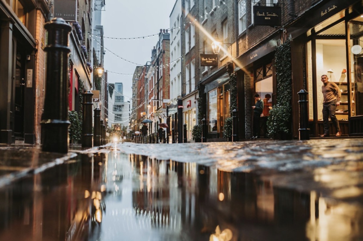
Most Londoners picture the Thames when they think about flooding. Yet the water that damaged homes, Tube stations and hospitals in July 2021 never came over a river wall. It fell from the sky, filled the sewers in minutes and ran down ordinary residential streets.
That shift matters for anyone planning building work in the capital. Boroughs now expect applications in risky locations to show how a site copes with rainfall as well as rivers. For many applicants, a Rida flood risk assessment is one way to meet that test, with chartered engineers producing a first report in 48 hours.
What Happened In London In July 2021?
Two intense storms struck the city on 12 and 25 July 2021. Rain fell faster than the drainage network could carry it away. The result was widespread surface water and sewer flooding across homes, businesses, health sites and transport.
According to London Councils, 24 boroughs were affected. The worst damage hit parts of east and north London. Basement flats filled with water within minutes, and several roads became impassable.
The response was slow to take shape but significant. Boroughs, the Environment Agency and partners formed a Surface Water Strategy Group, which first met in December 2022. Its members include the Greater London Authority, Transport for London, Thames Water and the London Fire Brigade.
Why Is Surface Water Now London’s Biggest Flood Risk?
The Thames is heavily defended, but rain lands everywhere. Several features of the city make sudden downpours harder to manage:
- Hard surfaces such as roofs, roads and paving stop rain soaking into the ground.
- Much of inner London relies on Victorian combined sewers that carry rainwater and foul water together.
- Front gardens paved for parking remove soil that once absorbed run-off.
- Warmer summers bring shorter, heavier storms that overwhelm pipes quickly.
- Low-lying streets and dips collect water with nowhere to drain.
None of these risks shows up on a simple river flood map. That is why boroughs increasingly ask about surface water even on sites in Flood Zone 1.
Where Does the Thames Barrier Fit In?
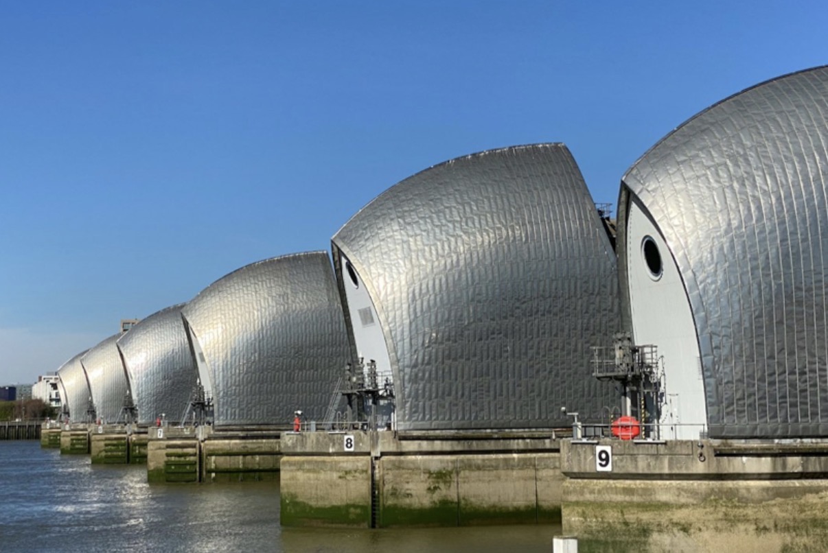
Tidal flooding remains a real threat, but it is well managed. The Institution of Civil Engineers’ Thames Barrier profile says the structure protects 125 square kilometres of central London. That covers around 1.4 million people and 420,000 properties.
The barrier spans 520 metres near Woolwich and was officially opened in 1984. During the winter of 2013 to 2014, it closed 50 times over 13 weeks. London’s history shows why it was built: a 1928 flood in Victoria and Chelsea drowned 14 people.
For applicants beside the river, tidal policy still applies. The Environment Agency’s Thames Estuary 2100 plan sets out how defences will be raised over the century. Building work close to a tidal defence usually needs a separate permit from the agency.
Why Are Basements Under So Much Scrutiny?
Basements sit at the lowest point of a building, so water reaches them first. After 2021, London Councils identified basement homes as a key concern in its basement flooding campaign. Its 2023 leaflet went to around 45,000 at-risk properties.
The same briefing names the five boroughs with the most basements:
- Kensington and Chelsea
- Islington
- Westminster
- Hammersmith and Fulham
- Hackney
Policy D10 of the London Plan asks boroughs to address the impacts of large basement developments. In practice, many councils want a basement impact assessment alongside a flood risk report. Planners look closely at sewer backflow, groundwater and safe escape routes from below-ground rooms.
What Do London Plan Policies SI 12 and SI 13 Ask For?
The London Plan 2021 sets the citywide rules that every borough applies. Two policies do most of the work on water.
| Policy | Focus | What applicants usually need to show |
| SI 12 | Flood risk management | Risk from all sources is assessed, and the scheme does not raise risk elsewhere |
| SI 12 | Tidal defences | Space is kept for future raising of river walls |
| SI 13 | Sustainable drainage | Run-off is cut towards greenfield rates |
| SI 13 | Drainage hierarchy | Rainwater is reused or absorbed before any sewer connection |
The drainage hierarchy favours green roofs, rain gardens and permeable paving over pipes. Southwark offers a local example, with new rain gardens in Bankside designed to absorb heavy rainfall. Large commercial schemes, such as recent West End developments, face the same expectations at a much bigger scale.
How Do Borough Flood Assessments Shape an Application?
Every London borough is a Lead Local Flood Authority. Each one publishes a Strategic Flood Risk Assessment, often called an SFRA, alongside its Local Plan. These documents map risk street by street and flag Critical Drainage Areas.
An SFRA tells applicants a lot before they draw a single plan:
- Whether the site lies in Flood Zone 2 or 3.
- Whether it sits inside a Critical Drainage Area.
- Whether groundwater has caused problems nearby.
- Which mitigation measures the borough expects.
National policy requires a site-specific assessment in Flood Zones 2 and 3. It also applies to sites over 1 hectare in Flood Zone 1 and to land with critical drainage problems. Missing or weak reports are a common reason for applications being declared invalid.
What Should Applicants Prepare Before Submitting?
A little preparation saves weeks of back and forth with planners. A sensible order of work looks like this:
- Check the borough SFRA and the national flood map for the site.
- Confirm whether the plot falls in a Critical Drainage Area.
- Commission a flood risk assessment that covers surface water and groundwater.
- Add a drainage strategy showing how run-off meets SI 13.
- Plan resilience measures, such as raised thresholds and non-return valves.
Rida Reports, for example, lists drainage strategies within five days alongside its 48-hour assessments. Small extensions in low-risk areas may only need a shorter screening note.
Frequently Asked Questions
Does Every London Planning Application Need a Flood Report?
No. Small projects in Flood Zone 1 with no drainage issues often need none. Sites in higher flood zones, Critical Drainage Areas or over 1 hectare usually do.
Can a Basement Be Built In a Flood Zone?
Some boroughs restrict self-contained basement homes in high-risk areas. Others allow them with safe access, raised thresholds and sewer protection. The borough SFRA and Local Plan set the local rules.
Who Checks the Drainage Part of an Application?
The borough acts as Lead Local Flood Authority and reviews sustainable drainage proposals. Thames Water may also comment where a new sewer connection is planned.
Is Tidal Flooding Still a Concern for Londoners?
Yes, but the Thames Barrier and river walls manage it well. Riverside sites still face extra checks, while most other homes face greater risk from heavy rain.
Planning for London’s Wetter Future
London has spent decades guarding against the tide. The 2021 storms showed that the next flood is more likely to come from a summer cloudburst. Planning policy has caught up, and applicants who understand SI 12, SI 13 and their borough’s SFRA will move faster through the system.